The first graded school for African-American children was built on Ramsey St. in 1893. Named the Whitted School after the first school principal, the school had operated out of temporary venues prior to construction of its new building, first using the Primitive Baptist Church and then a prize house on Red Cross St (now under the footprint of the Durham Bulls Athletic Park). The school was built one year after the first graded school was built for white children in Durham, later known as the Morehead School.
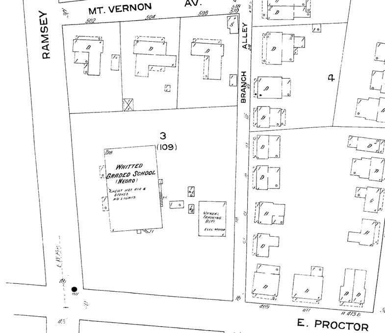
1913 Sanborn Map showing the location of the Whitted School.
(Copyright Sanborn Map Company)
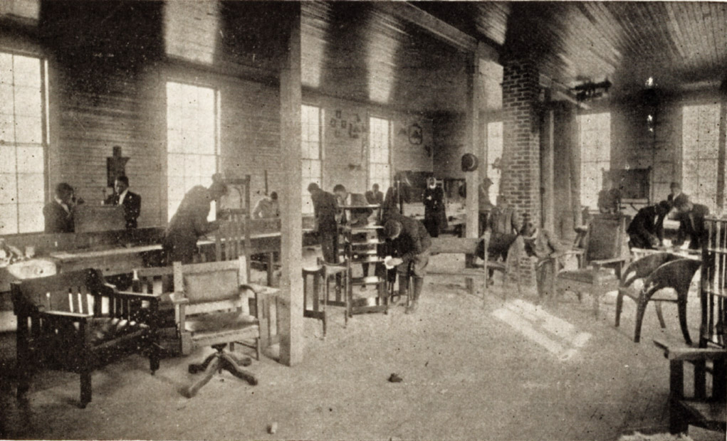
"Boys learning to make furniture for their homes: the Manual Training Department"
(from "Southern Workman" vol. 42, 1913, via Digital Durham)
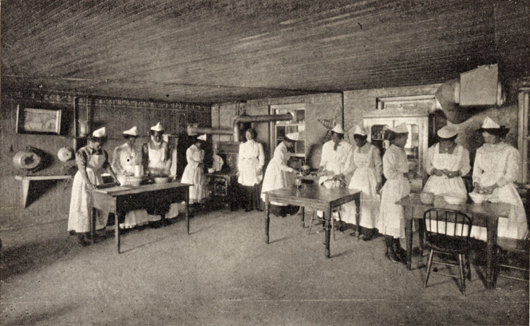
"Girls learning to prepare and cook wholesome food"
(from "Southern Workman" vol. 42, 1913, via Digital Durham)
Unfortunately, no exterior pictures seem to survive of the original Whitted School. Like another African-American school, the West End School, the original Whitted School, described as "decaying and rat-infested," burned in 1921. Leslie Brown quotes Pauli Murray as saying that the Whitted School was burned intentionally - purportedly by the African-American community itself, angered over the disproportionate funds dedicated to white versus African-American Schools. Regardless, the school was replaced by a new Whitted School on Concord St. in 1935 and Hillside Park High School on Umstead St. in 1922.
The land on which the school sat became a park - there is some reference to John Sprunt Hill donating funds to make this land a park for the African-American community. I have no decent pictures of the park, but what I do have make it appear rather bleak.

Park from Ramsey St., looking east, 1966.
(Courtesy Durham County Library / North Carolina Collection)

An earlier aerial picture (mid-1940s) showing several locations I'm posting on this week.
Yellow - Original Lincoln Hospital
Red - Site of original Whitted School / Park
Orange - Berry Company
Green - Jones Hotel
Blue - Original Mt. Vernon Baptist Church
(Original photo courtesy The Herald-Sun Newspaper)
This park was taken by urban renewal and turned into a freeway on-ramp.

Looking east, 11.16.08
Find this spot on a Google Map.
35.989126 -78.899057