When writing about Gregson Street, I've frequently made the point that, until the late 1960s, it only extended as far south as Jackson Street.
Well, after finding some cool photos a few weeks ago, I will say that, while this is technically accurate, Gregson as a significant traffic route effectively ended at West Chapel Hill St., and the 400 block, between West Chapel Hill and Jackson, was almost off-road.
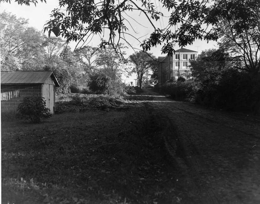
Looking north from Jackson Street on Gregson St., 10.08.56. The YWCA is the brick building at the top of the hill on the right.
(Courtesy Durham County Library / North Carolina Collection)
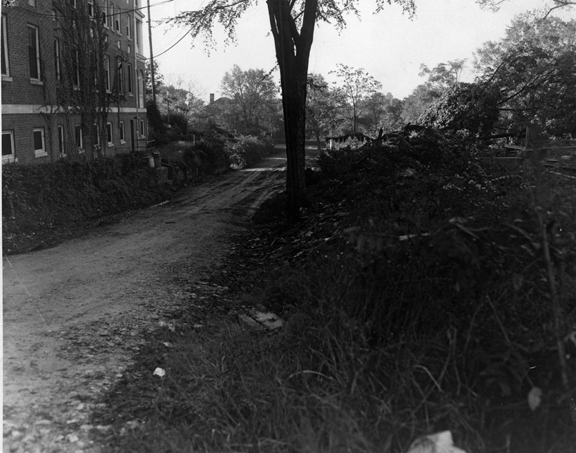
Looking south from West Chapel Hill St. towards Jackson, 10.09.56. The YWCA is on the left.
(Courtesy Durham County Library / North Carolina Collection)
In 1959-1960, the west side of the street was demolished and cleared to build the Holiday Inn and a gas station - I believe this street was paved at that point. It wasn't extended to connect with Vickers until the late 1960s, at which point it became a more major southbound connector.
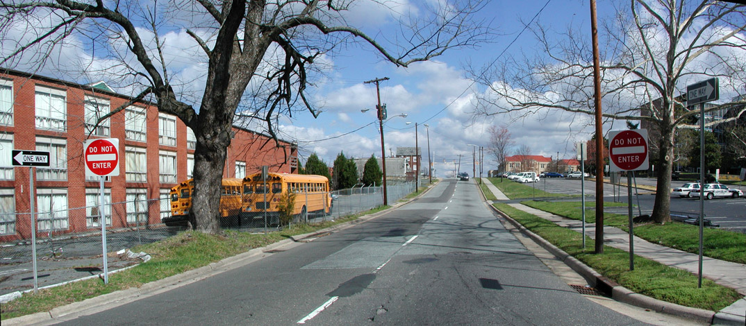
400 Gregson, north from Jackson 03.16.08. That old tree on the left is likely the only remnant.
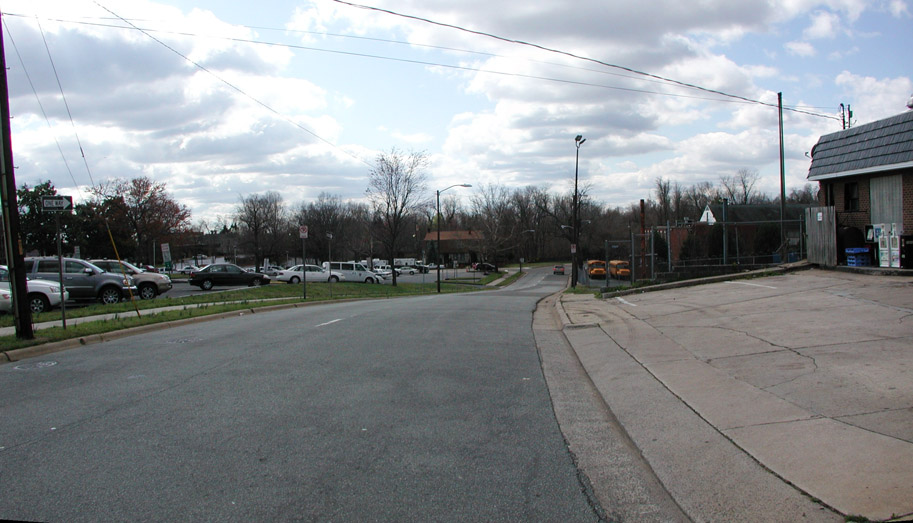
400 Gregson, south from West Chapel Hill 03.16.08.