![]()
The Home Savings Bank Building, 01.30.69
(Courtesy Herald-Sun)
The Home Savings Bank occupied the eastern half of 313-315 East Chapel Hill Street through the 1950s; it then replaced the western half (which had been replaced 29 years earlier with an exuberantly art deco building) with a new exuberantly modern building, transitioning half of the structure, at least, all the way from Mansard to Modern to Launch Vehicle.
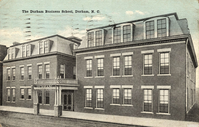
The building at 313-315 East Chapel Hill Street was constructed around 1907 as the Corcoran Hotel, but did not survive for long due to stiff competition from the other downtown hotels. It became Mercy Hosptial, then the Durham Business School.
![]()
![]()
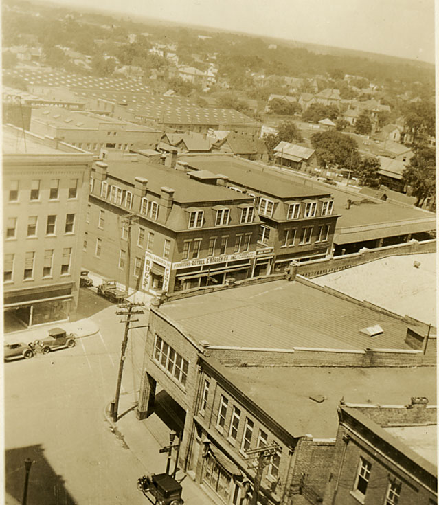
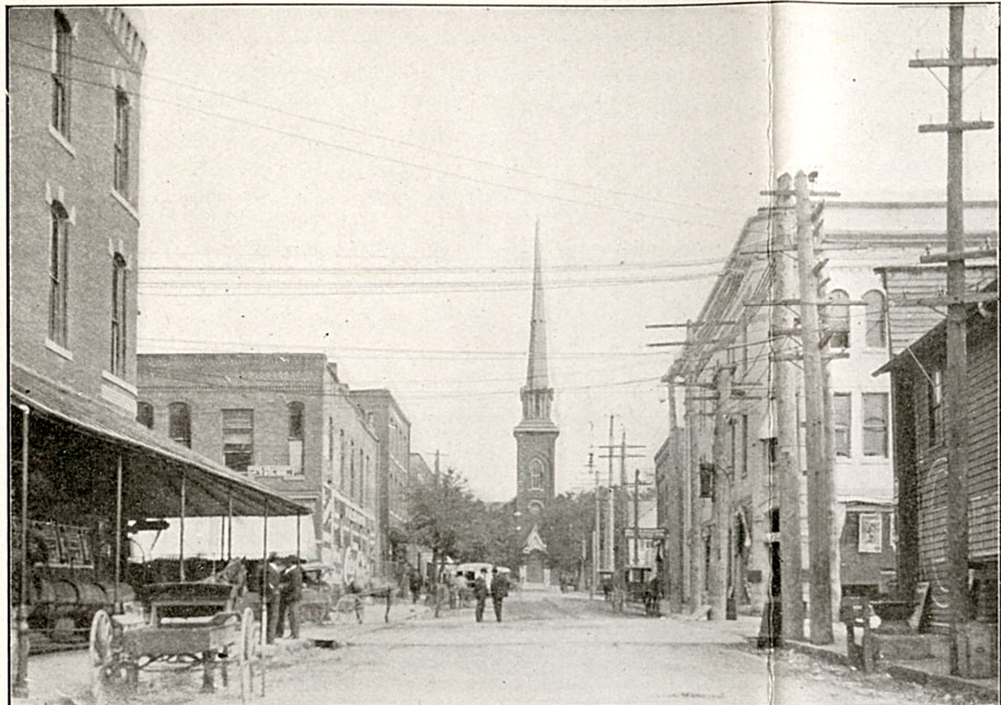
From the Washington Duke Hotel, looking northeast, likely mid-1920s.
(Courtesy Duke Archives, Wyatt Dixon Collection)
![]()
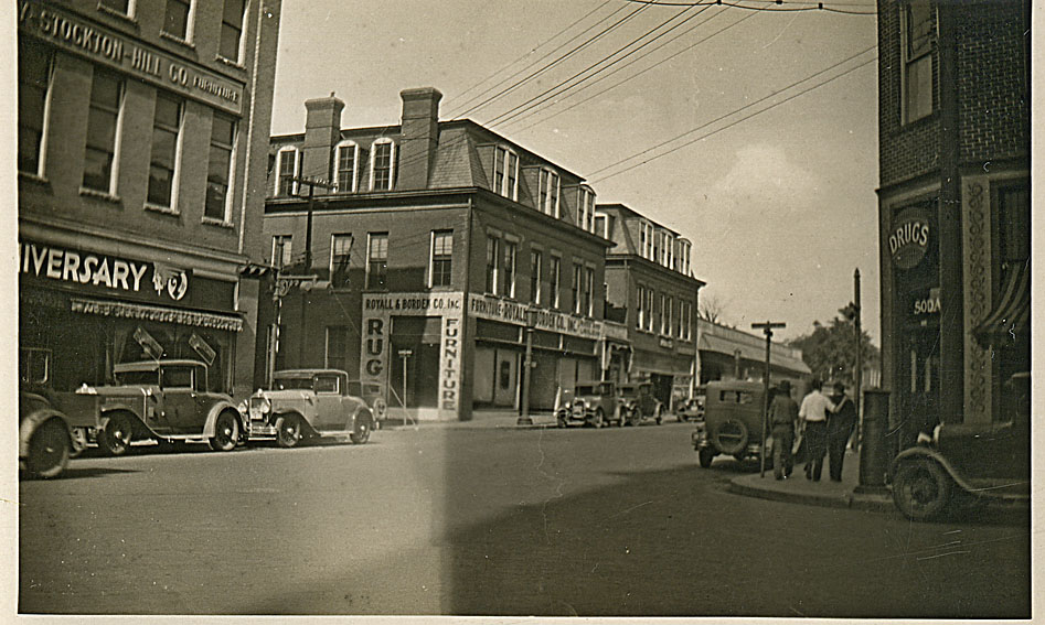
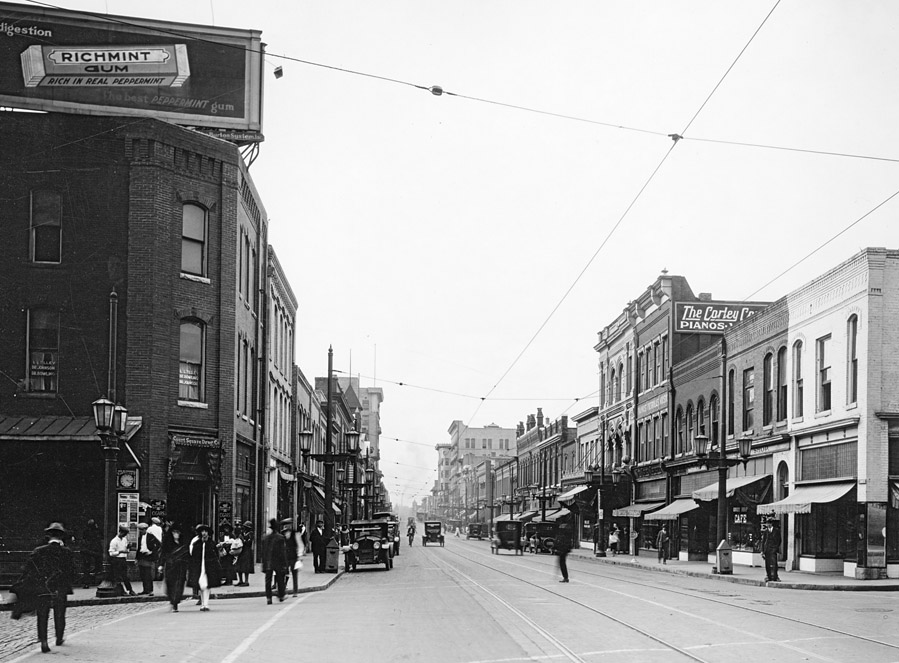
From the corner of Corcoran and East Chapel Hill St., looking northeast. Probably a little bit later than the above picture, but before 1934, when the Post Office was built.
(Courtesy Duke Archives, Wyatt Dixon Collection)
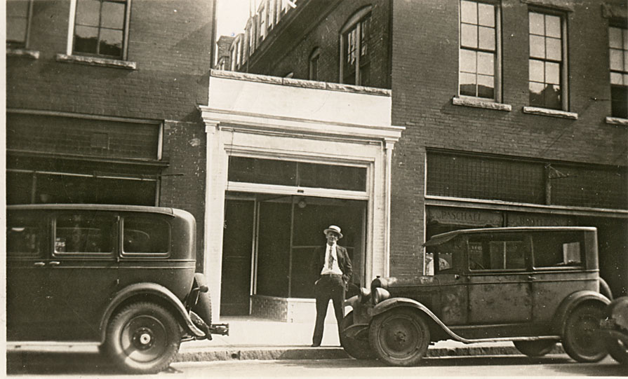
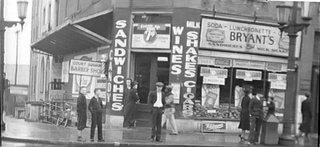
The entrance
![]()
(Courtesy Duke Archives, Wyatt Dixon Collection)
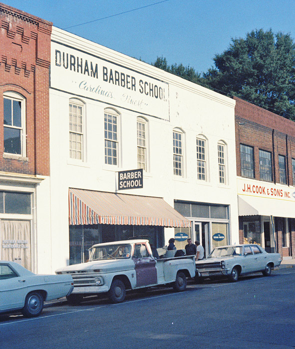
The business school appears to have closed by the 1930s. The "Tip-Top Tavern" was located on the first floor during this era.
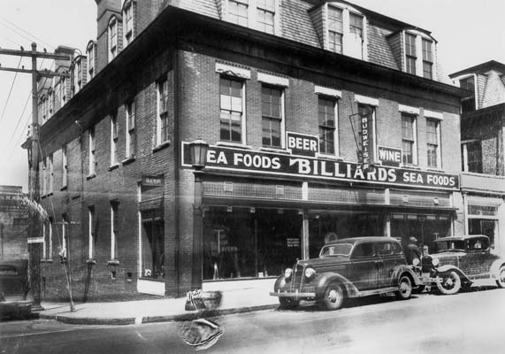
![]()
(Courtesy Durham County Library)
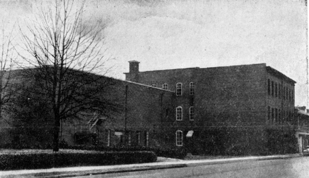
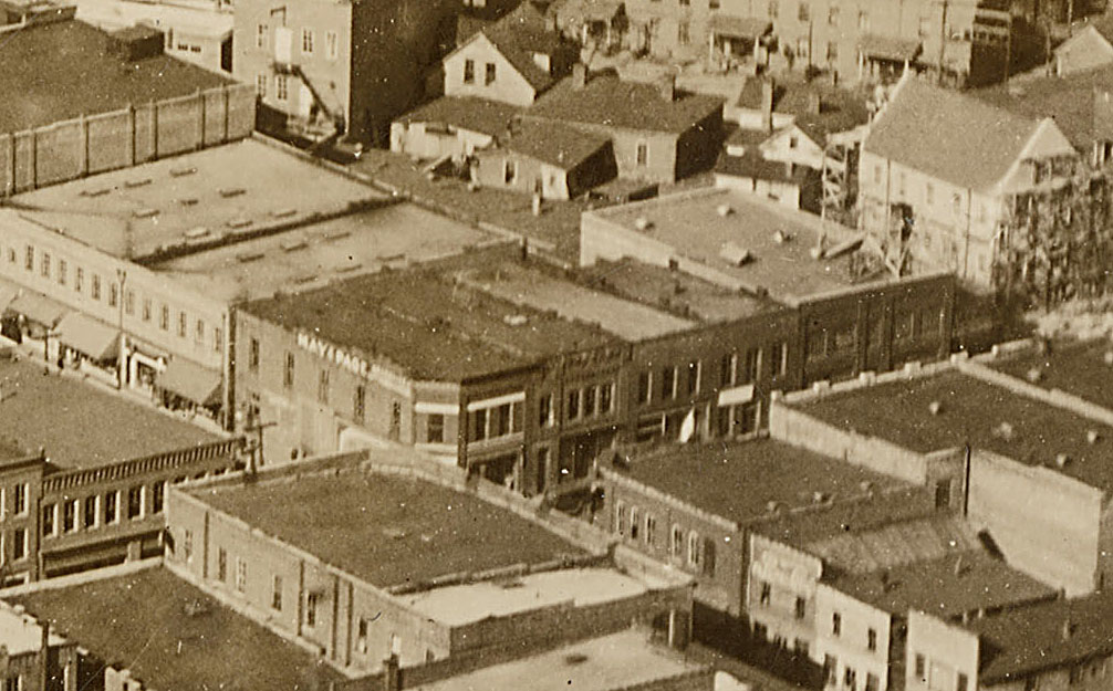
As seen from the east, looking west from Rigsbee, mid-1930s.
![]()
(Courtesy University of North Carolina / North Carolina Collection)
In the 1938, the 313 half of the building was torn down and replaced with a art deco/moderne movie theater known as the Center Theatre, built by general contractor George W. Kane.
![]()
Looking east, Foster St. in the foreground. The Center Theater is under construction, and 315 E. Chapel Hill perists to its east.
(Courtesy Duke Archives)
Below, the completed Center Theater and 315 East Chapel Hill, 1940. This is the only picture I've seen with a complete Center Theater and an unmodified 315 East Chapel Hill.
![]()
(Courtesy Library of Congress)
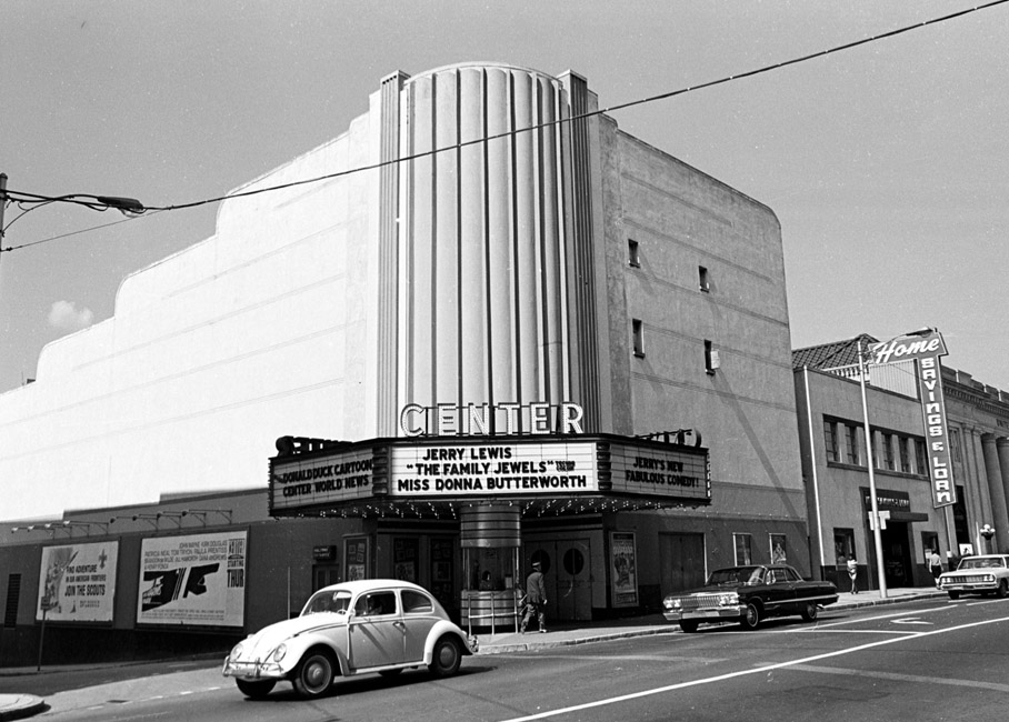
Below, a closer picture of the Center from about 1948, going by the movie title.
![]()
(Courtesy Durham County Library)
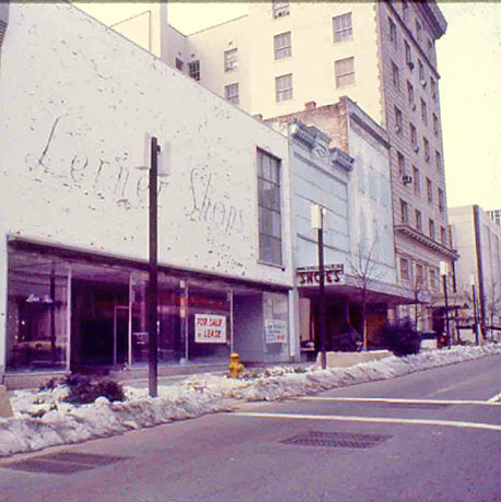
In 1951, 315 East Chapel Hill St. was 'modernized' by removing the mansard roof, parging the exterior of the building, replacing the windows, and other changes that fundamentally changed the character of the building.
![]()
Above - being 'updated' for the demanding standards of the 1950s, 02.22.51
(Courtesy Herald-Sun)
![]()
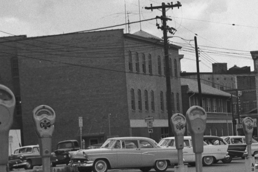
Above, the Center Theater and 315 E. Chapel Hill from the Washington Duke Hotel, looking northeast, mid-1950s
(Courtesy Herald-Sun)
Like most (all?) downtown movie theaters, the Center was segregated. Unlike the Carolina, which admitted African-Americans - but only through a side door to be able to sit in the balcony, separated from whites, I don't think the Center admitted African-Americans at all.
As a result, it was a focus of civil rights protests, like the one pictured below.
![]()
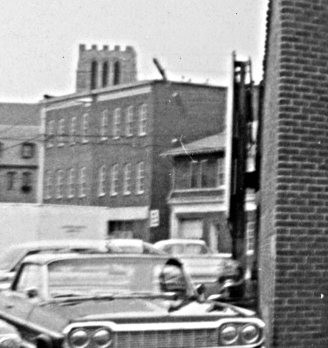
Looking east, 03.10.61
(Courtesy Herald-Sun)
![]()
Looking east, 03.10.61
(Courtesy Herald-Sun)
By the mid-1960s, this incarnation of the Center Theater was reaching the end of its lifespan, short of 30 years old. I'm not sure if it ever de-segregated at this location.
![]()
(Courtesy The Herald Sun)
Above and below, the Center Theatre around 1965, again by the movie titles, looking northeast from Corcoran, near Chapel Hill St.
![]()
(Courtesy Durham County Library)
By 1966, the Center theater moved to Lakewood Shopping Center. The building was sold to the next-door neighbor, Home Savings and Loan, which demolished the theater.
![]()
Demolishing the theater, looking north, 01.09.67
(Courtesy Herald-Sun)
![]()
Demolishing the theater, looking south, 03.30.67
(Courtesy Herald-Sun)
![]()
Demolishing the theater, looking northeast, 03.30.67
(Courtesy Herald-Sun)
![]()
(Courtesy Durham County Library)
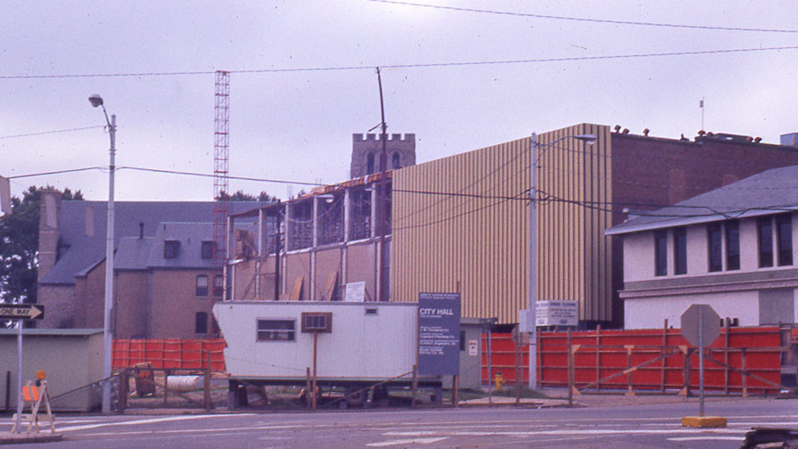
![mutualcommsavings_const_1969.jpg]()
The building which replaced it, the Home Savings Bank, is what you get when you combine modernism with whimsical.
![]()
(Courtesy Durham County Library)
![]()
The Home Savings and Loan Building, 01.30.69
(Courtesy Herald-Sun)
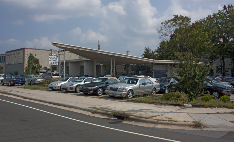
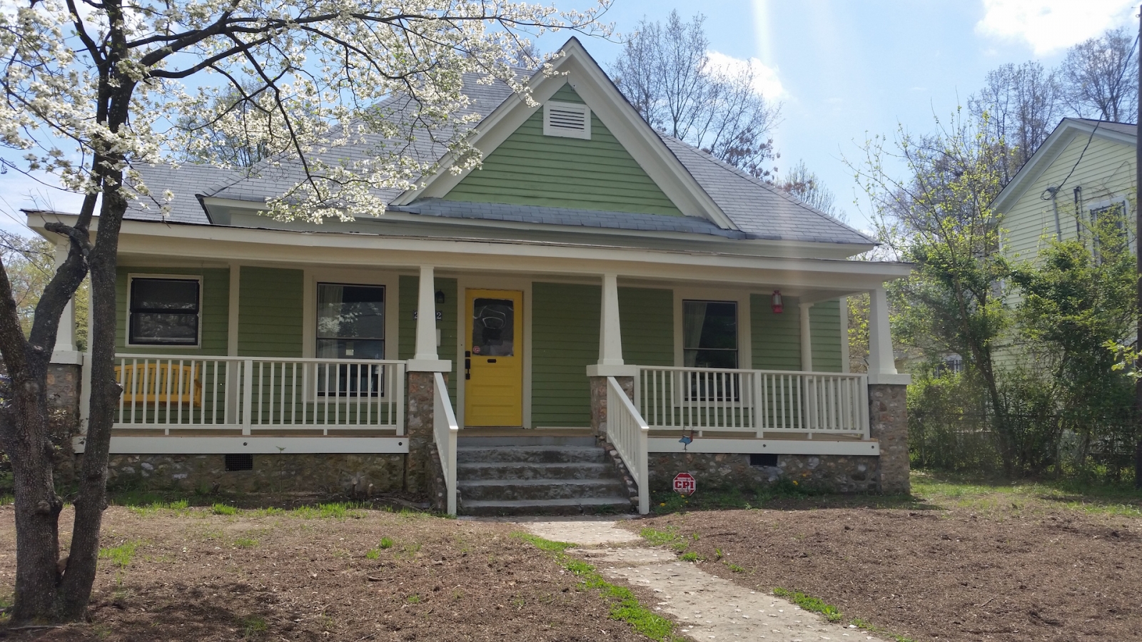
The same building today, now the Mutual Community Savings Bank
![]()
While I feel like I should dislike this building because of unclear openings for doors and windows, on most days I can't help but like it. Unlike a lot of stolid modernism, this just seems sort of irrepressibly geeky, in that Revenge of the Nerds/Napoleon Dynamite kind of way.
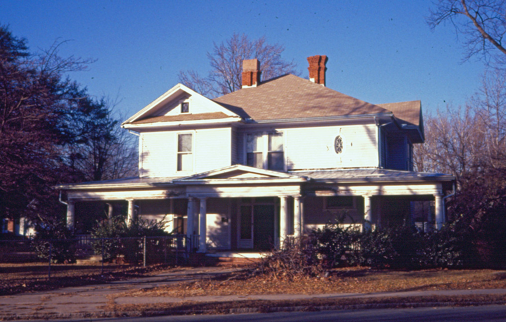
The building immediately to the east of the bank remains the original 315 East Chapel Hill St., albeit radically transformed. Visible around the window frames is brick, underneath the parged concrete exterior (on the sides.) Not much other clue to its origins, except for the general size and massing (minus the mansard roof.)
![]()
Looking northwest from East Chapel Hill St., 2007.
![]()
04.28.2015 (G. Kueber)


 04.28.2015 (G. Kueber)