Sterling Proctor owned 280 acres of land which is now part of the City of Durham, southwest of the NC Railroad.
Sterling Proctor was born in 1804, son of Richard Anthony Proctor, who was the recipient of a North Carolina land grant and was one of the early settlers of Orange County, NC.
Sterling Proctor is known as one of the Patriarchs of the City Of Durham. On page 345 of the book, Western North Carolina, Historical and Biographical Sketches, by George B. Hanna, published in 1890, Sterling Proctor is listed as a reputable and respected citizen, one of the dozen people the writer recalls as the Patriarchs of the City of Durham, living within a one mile radius around the NC Railroad Station.
In terms of his land, Sterling Proctor is also known as one of the founders of the City of Durham. In 1854 Dr. Bartlett Durham sold 4 acres of his land to the North Carolina Railroad for the Train Station, and the town of Durham was given his name. In 1869 when the town of Durham was incorporated, covering one square mile centered on the station, over 100 acres of Sterling’s farm formed the southwestern corner of the incorporated city limits. The 6 landowners within the one square mile of the new town were Sterling Proctor, Charles Strayhorn, J. R. Green, William N. Pratt, Dr. Bartlett Durham and Henderson May. (See http://www.archive.org/details/historyoftownofd00paul)
There are no land deeds showing Sterling Proctor as the grantee (buyer), so how and when Sterling Proctor first acquired his land is unknown. It is likely that it was given to him as part of his father’s original farm when Sterling married Winnaford Green (1807-1870) in 1825.
Sterling Proctor’s name does show up as the grantor (seller) in 10 land deeds in Orange County and in 5 land deeds in Durham County prior to 1878. After his death, in Apr, 1877, his name is mentioned in many Durham land deeds as his heirs sold their inherited land to William J. Christian, Mayor of Durham, and William Gaston Vickers, developer of Morehead Hills, Durham’s first suburb.
A careful study of all the land deeds that mention his name, especially Durham Deed Book 7 page 375, and his will (Orange County Will Book H, page 163), show that his farm contained over 280 acres. His farm was bordered on the north by W. Chapel Hill St., on the west by Arnette Ave. on the south by Wells St. and Chestnut St., and on the east by Willard St., S. Duke St., and a line that generally parallels Highway 147 almost as far as south Fayetteville St. ![]()
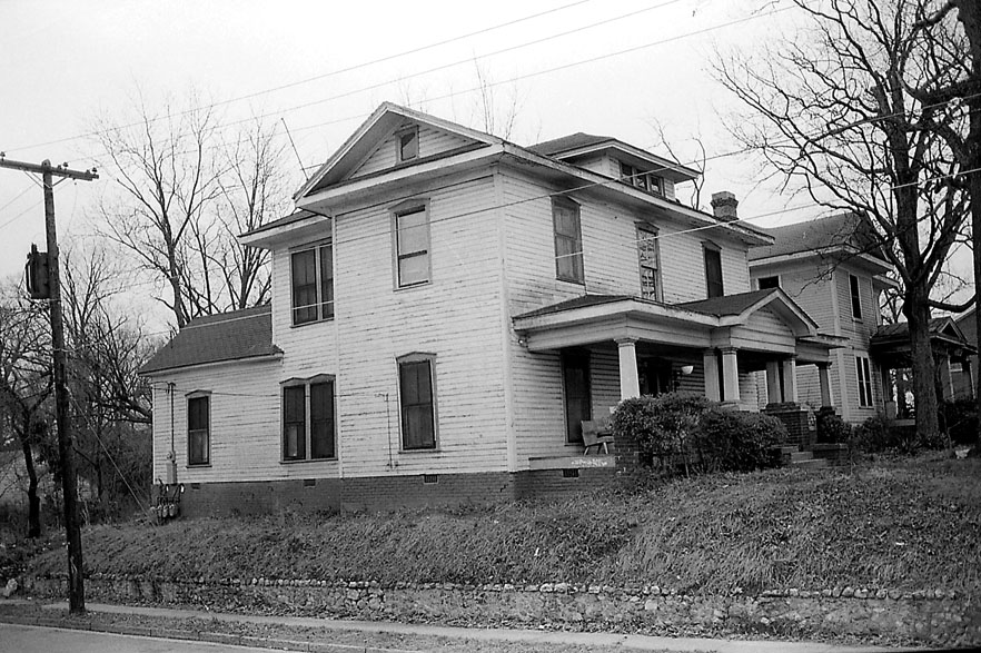
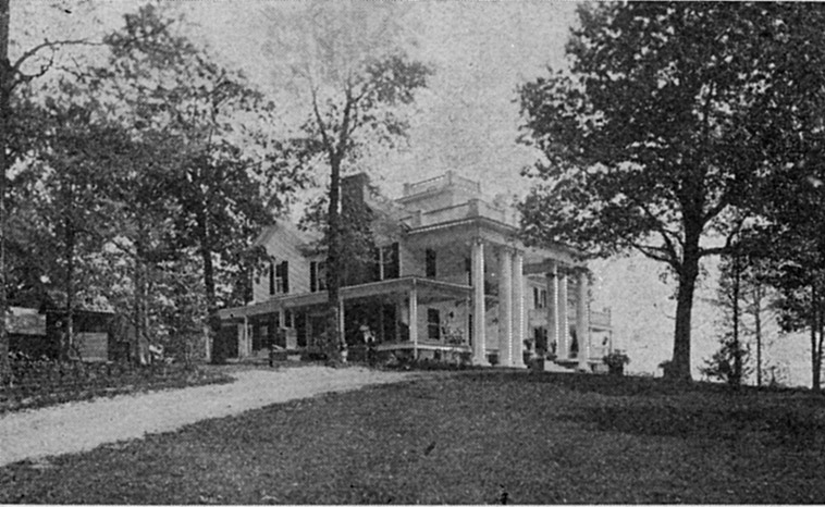
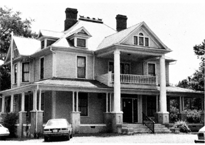
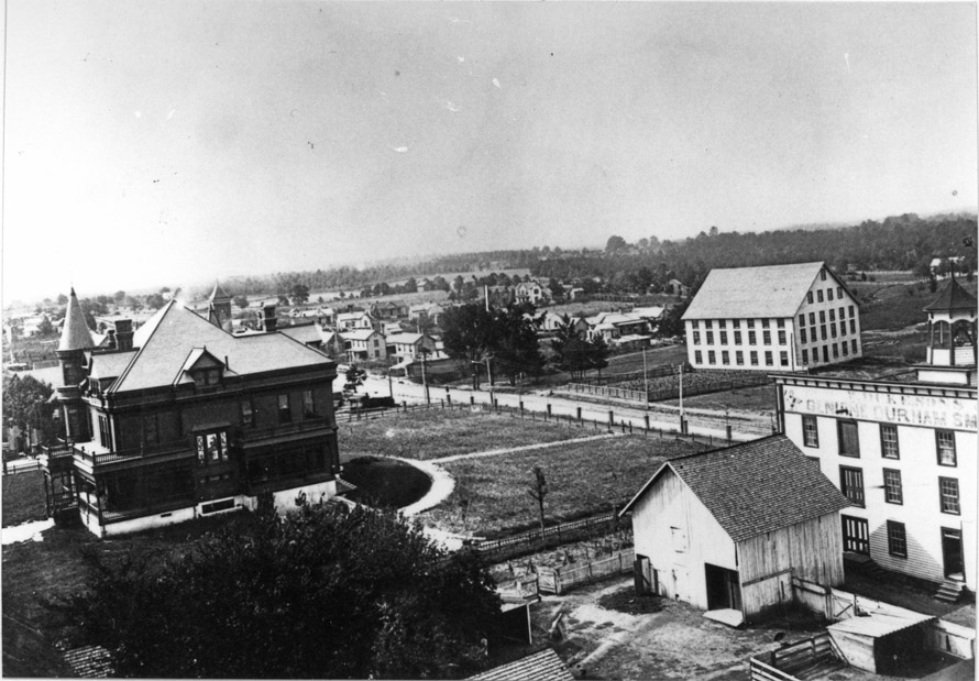
Sterling’s house has never been found. However, its probable location can be deduced using the language in his land deeds and in the codicil to his will. Sterling definitely lived on the south side of the Hack Road, now W. Chapel Hill St., in Durham in 1877, and his house was reached by a lane leading south from the Hack Road. Just before his death, he started selling lots of his land along what is now W. Chapel Hill St., because the township of Durham was growing toward him along this road. However, he kept one lot for himself. This lot was just east of the intersection of S. Gregson with W. Chapel Hill St. on today’s map, and it probably contained the lane leading to his house. It is not stated in any of his land deeds how far south the lane to his house extended, but it seems likely that his house was on the best land of his farm, where William Gaston Vickers built his own house and where the first two houses were built in Vicker’s Morehead Hill Development by Eugene Morehead and George W. Watts. ![]()
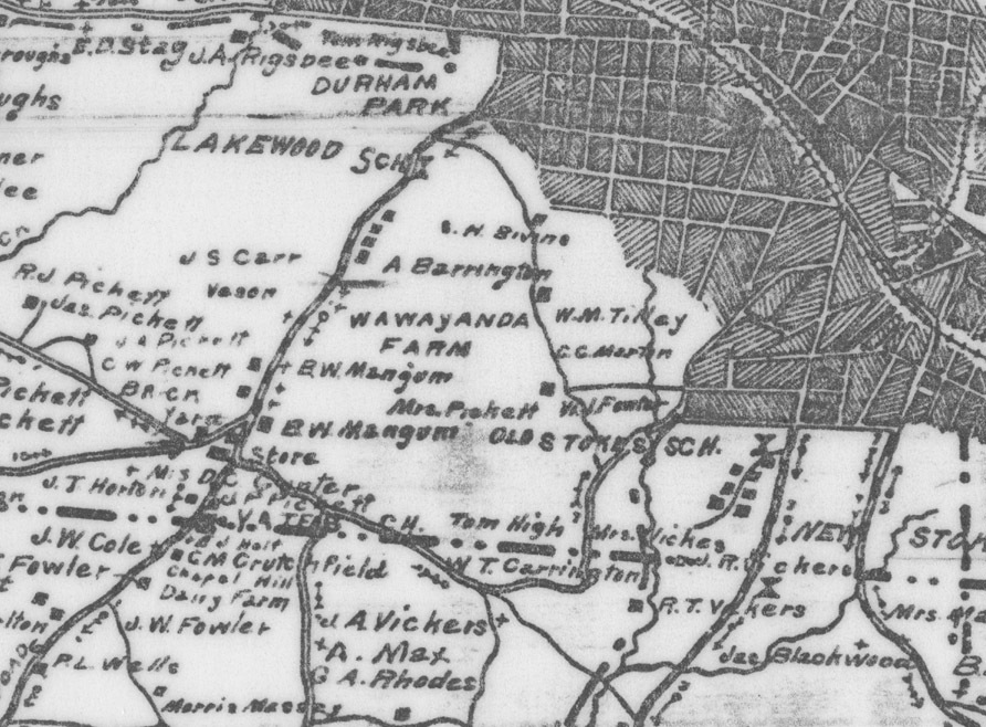
In the above excerpt from the 1881 Grey’s Map of Durham, Chapel Hill St. is shown in the area where the lane to Sterling Proctor’s house would have been in 1877. In the lower left hand corner, William Gaston Vickers’ house can be seen on Proctor St., and the houses of Eugene Morehead and George W. Watts can be seen on Lee St (now Duke). Sterling’s house was probably located in this area near Proctor St., which was probably named after him.
![]()
In the above excerpt from the 1891 Birds Eye Map of Durham, the same piece of land is shown with William Gaston Vickers’ house and the house of Eugene Morehead and George W. Watts in the lower left hand corner. This map shows how far the City of Durham had grown into Sterling’s land along Williard, Lee (now Duke) and W. Chapel Hill Streets by 1891.
In Sterling’s deeds there is no mention of a burial ground on his land. This is surprising since the Durham land deeds of his father and three of his brothers all include private family burial grounds on their land. It may be that he expected to be buried in the family cemetery on his father’s land. No record of the location of his grave has ever been found.
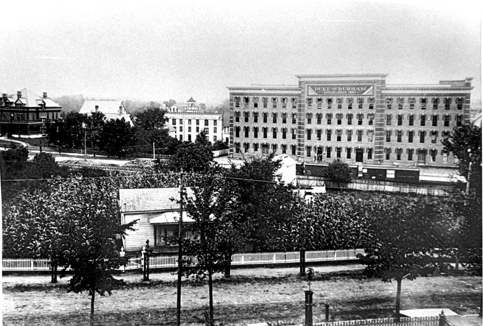
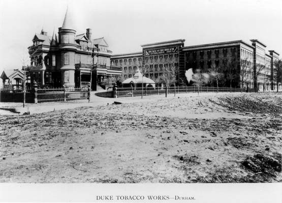
Sterling’s neighbors were also important names in the early history of the city of Durham. His neighbor to the northeast was Dr. Bartlett Durham for whom the city is named. His neighbor to the east was the estate of Robert F. Morris, head of the R.F. Morris and Son Tobacco Manufacturing Company and one of the first tobacconists of Durham. His neighbor to the south was the estate of Malbourne Addison Angier, County Commissioner, Justice of the Peace and Mayor of the city of Durham.
Sterling and his wife Winnaford had 14 children, 9 sons and 5 daughters. Most of their daughters remained in Durham, but none of their sons stayed.
Sterling’s son Paul S. Proctor (1826-1902) married a local Orange County girl, Nancy Bridget Markham (1828-1904), in 1850. They moved to Gibson County, Tennessee, and had 4 children. After 1885, they moved to Texas.
Sterling’s daughter Minerva G. Proctor (1828-1892) married John Fowler (1827-1865) in 1851. He died fighting in the Civil War. She never remarried, raising their 6 children and farming alone. Her farm was located next to her father’s farm, in the Durham area called Hayti. She is renowned for selling some of her land located in Hayti to Edian Markham, who established St. Joseph’s African Methodist Episcopal Church located on Old Fayetteville St. on today’s map.
Sterling’s son Richard Henry (1930-1895) married a local girl, Rutha Jane Vickers (1831-1911), in 1851. They moved to Haywood County, TN, in 1869. They had 12 children, 9 born in NC and 3 born in TN. They were very poor, farming the shares at Jones Station near Brownsville, TN, for 7 years. According to Sterling’s will, his son Henry owed him some money, because in his will he forgave Henry all the notes he owed him. After Sterling died and his heirs inherited his estate, his son Henry finally purchased a farm in Tennessee in 1879.
Sterling’s son Silas Ruffin (1833-1910) moved to Gibson County, Tennessee, with his brother Paul S. In 1864, Silas married Martha Jane Pope (1847-1915), a Tennessee girl, and they had 6 children. After 1870, they moved to Missouri.
Sterling’s daughter Mary Angelina (1834-1879) married a local farmer, Hutson Brockwell (1837-1910), in 1857. They had 9 children, and their farm was in Chapel Hill.
Sterling’s son James Monroe (1836-1910) joined his brothers in Gibson County, Tennessee, in 1868. In 1869, James married Sarah Jane Shipman (1844-1936), a Tennessee girl, and they had 4 children. Their farm was in Gibson County, across the road from his brother Paul S.
Sterling’s son Sterling Yancey (1838-1863) married a local girl, Misseline E. Blalock, in 1857. Sterling Yancey fought for the Confederacy in Company G of the 6th North Carolina Regiment, and he died at Gettysburg in July, 1863.
Sterling’s daughter Nancy Aseneth (1839-1904) married John M. Woods (1839-1908), a Durham farmer, in 1866, and they had 10 children. Their farm was west of Sterling’s land on Lakewood Ave. John M. Woods was the executor of Sterling’s will.
Sterling’s daughter Barcenia (1842-1882) married Thomas J. Davis (1932-1900), a Durham farmer, in 1857, and they had 4 children. They lived in Paterson Township until 1877, and then they moved to Haywood County, TN, where her brother Richard Henry lived.
Sterling’s son Alexander Polk (1846-1864) fought for the Confederacy in Company C of the 66th North Carolina Infantry. Alex was wounded in the left shoulder at Cold Harbor in Virginia, and died on June 27, 1864, at the age of 18.
Sterling’s daughter Frances (1847-1877) married her second cousin James B. Proctor (1852-1889) in 1871, and they had 2 children. Their farm was just north of Sterling’s land, on the north side of W. Chapel Hill St.
Sterling’s son Robert Daniel (1850-1917) lived in Kentucky until 1887 and then moved to Pope County, Arkansas. He married Mary Frances Brown (1868-1836) in 1891, and they had 2 sons. Robert Daniel was a timber farmer and ran a saw mill.
The fate of Sterling’s other two sons William (1852-?) and Peter (1855-?) is unknown, but they are not mentioned when Sterling first wrote his will in 1873.
Sterling did not fight in the Civil War, but he was greatly affected by the conflict. Two of his sons were killed fighting for the Confederacy, and his brother Oswell Kinion also died fighting for the Confederacy. During the negotiations at Bennett Place to end the Civil War in April, 1865, the Union Army was camped on Sterling’s land, damaging his property and possessions. He made a claim for compensation to the Southern Claims Commission, and his estate was awarded $860.00 on February 8, 1880, 3 years after his death.
Sterling Proctor’s family was literate. His father, all of his brothers and all of his sons could read and write, according to the Census records. In 1869, along with John A. McMannen and D.C. Parrish, Sterling Proctor was appointed one of Durham’s first tax assessors. (See Durham County by Jean Bradley Anderson, Second Edition.)
Sterling’s wife Winnaford died in Apr, 1870, and he remarried in Dec, 1870 to Emaline Horn (1836-1877). They had one daughter Ella, born in 1873, but by the time of Sterling’s death in Apr, 1877, his new wife had already died. He arranged in a codicil to his will to have some of the land he was planning to leave to his sons to be taken off the northwestern corner of the land and given to Ella. He apparently also arranged for his daughter Minerva Proctor Fowler to raise Ella, who was 4 at the time of his death. He gave Minerva some land to thank her “for services rendered”, and Ella was living with her half-sister Minerva in the 1880 Census. The Proctor family has in their possession a letter written by F.M. Proctor, one of Sterling’s brothers, in response to a letter from his nephew, James Monroe Proctor, one of Sterling’s sons, dated Jun, 1877, asking about the fairness of the codicil to Sterling’s will. F.M. says that it was necessary that Sterling provide for Ella’s future. F.M. also confirms that Sterling’s land was still considered good farmland, and he mentions that the number of inhabitants inside the Durham corporate line at that time was about two thousand.
Sterling had clearly remained a farmer even as the town of Durham started to spread out toward him from downtown Durham. At the time of his death, his estate was evaluated, and his possessions included 189 pounds of cotton, 12 bushels of cotton seed, 18 barrels of corn, 1200 pounds of fodder, 8 head of hogs, one bull, and farm implements including a plow and a cultivator. (See North Carolina Wills and Probate Records on ancestry.com.)
These Durham Landmarks now sit on the original farm of Sterling Proctor:
- Proctor Place: The Durham subdivision called “Proctor Place” on the Durham Real Estate Records is on the northwest portion of his farmland, bounded by these streets: W. Chapel Hill St., William Vickers Ave. and Vickers Ave., Parker St. and S. Buchanan Blvd. This includes some of the land that he willed to his daughter Ella. See Durham Plat Book 5A, page 26.
- Proctor Street in Durham is named after Sterling and his family. It crossed his entire farm from east to west, connecting his land to the land of his father and his brothers. Provide a link to the Proctor Street story.
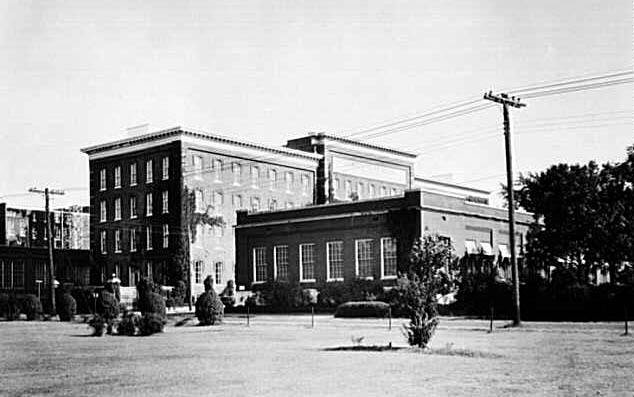
- The North Carolina Mutual Insurance Building at 411 W. Chapel Hill St. The following deeds trace the ownership of this land back to Sterling Proctor: Durham Deed Book and page 5459/988, 129/153, 86/103, 22/334, Orange County Deed Book 39/51.
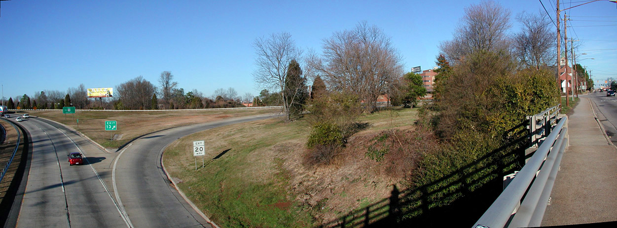
- One mile of Highway 147 from the point where it goes under W. Chapel Hill St. beyond the point where it goes over Roxboro St.
- The American Tobacco Trail, including the trailhead where Morehead Ave. intersects Blackwell St, and about the first half mile of the trail heading south.
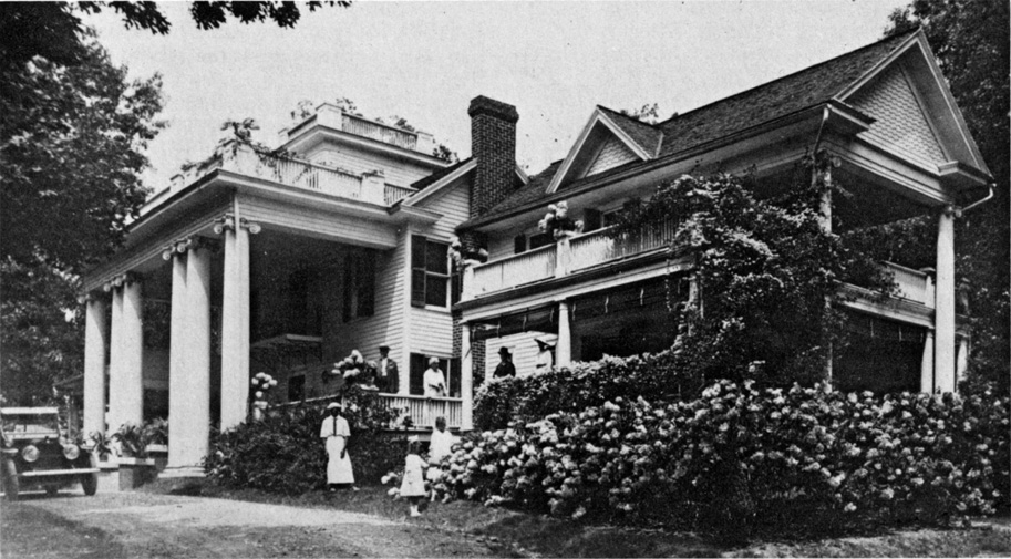
- Morehead Hill, the first upscale suburb of the town of Durham. William Gaston Vickers purchased 127 acres of Sterling’s farm from his heirs in 1877 for $1500 (Durham Deed Book 7 page 375) and developed this land for the mansions of the first millionaires in the town of Durham. Morehead Hill is on the National Register of Historic Places, see http://www.nationalregisterofhistoricplaces.com/nc/durham/state.html
The following is a list of the land deeds and plats associated with Sterling Proctor’s land:
Orange County Deed Book 32, p. 239, 34/627, 38/130, 39/5, 39/51, 41/2, 41/10, 41/260, 42/164, 42/445, 43/69, 44/9, 44/499, 45/324, 45/100.
Durham County Deed Book 1, p. 194, 1/446, 2/260, 2/317, 3/306, 3/435, 4/208, 4/270, 4/327, 4/344, 5/427-428, 5/537, /556, 7/372, 7/375, 7/386, 10/94, 19/204, 22/334, 22/448-449, 22/452, 23/88, 28/386, 29/28, 38/184, 38/203, 38/378, 45/356, 56/533, 56/648, 60/692, 67/66, 68/369.
Durham County Plat Book 1, pages 28-29, 3B/138, 5A/26, 5A/96, 5B/88, 6A/11-13, 6A/77.


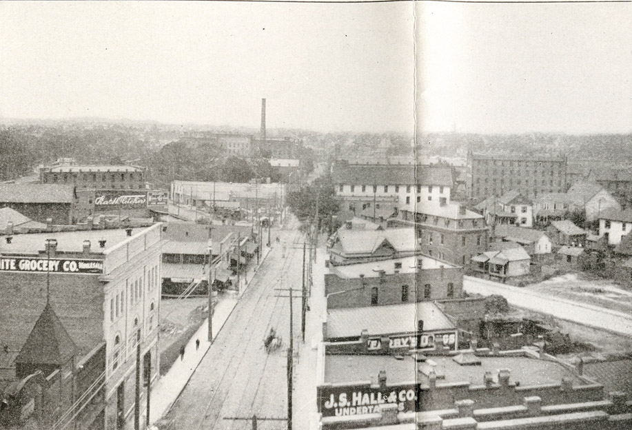
 Looking northeast from W.Main towards Corcoran St., 1890s
.JPG)

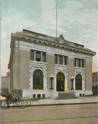
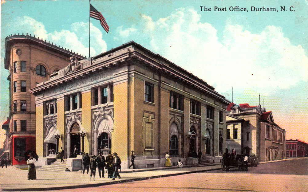
 This view is taken from the First National Bank building on the southeast corner of Main and Corcoran. Moving generally from right-to-left, you can see the Geer Building, the Washington Duke building, the old post office, The Trust Building, and the Temple building (to the west of the Trust building). Only the Trust building and the Temple building are still standing. This photo dates from the late 1920s or very early 1930s.
 (Courtesy Herald-Sun)


 RDU - undated, presumably 1950s
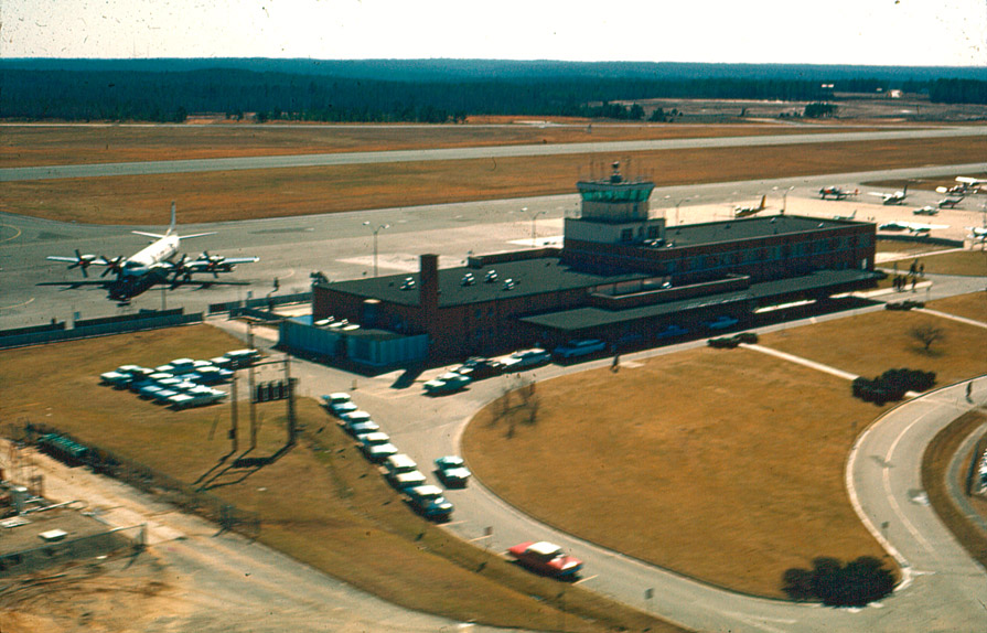 RDU, undated, likely 1950s
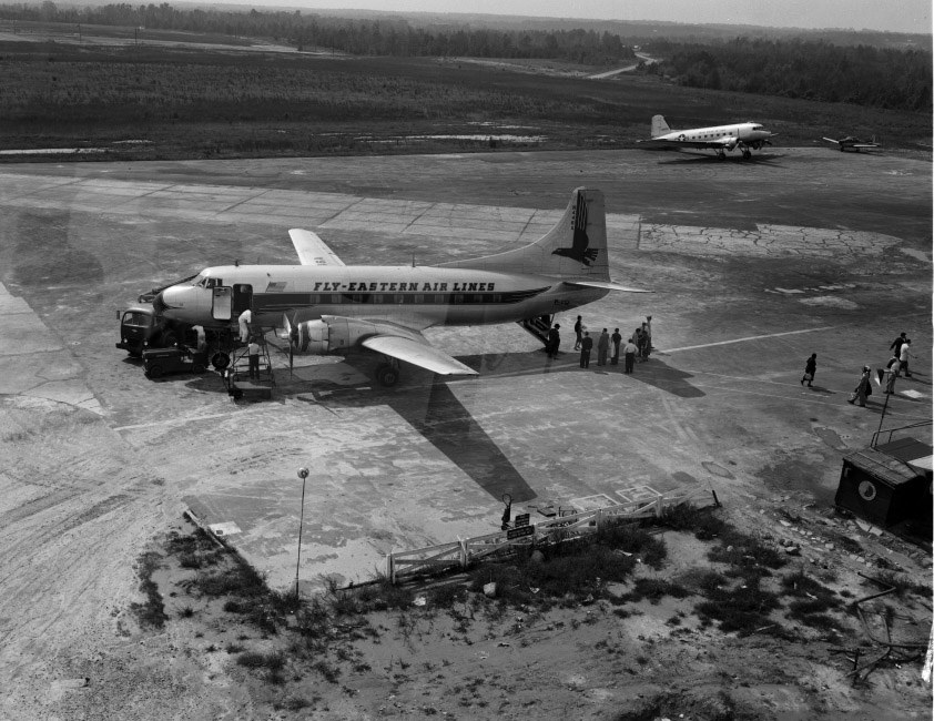 RDU - undated, likely 1950s.
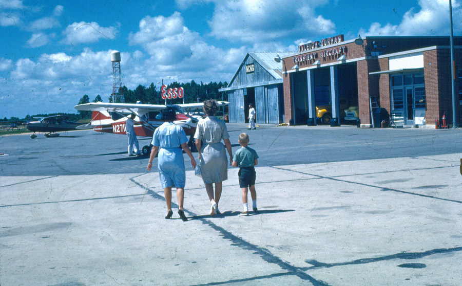 1950s
1950s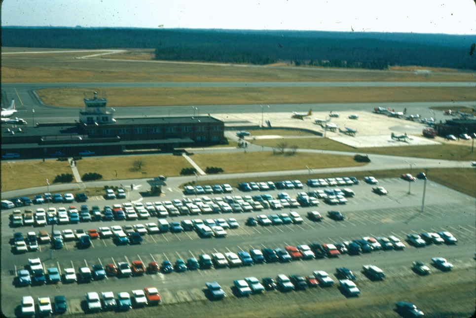 1950s
1950s Original terminal, 06.19.11
 Original terminal, 06.19.11
 Fancy new Terminal 2.0 , 06.19.11


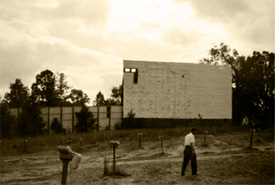
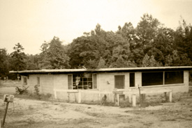
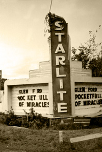
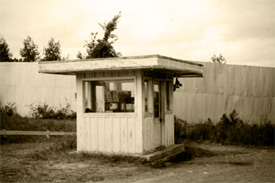 The Starlite drive-in theater opened in the mid-1940's and operated until ~1961, when it was abandoned.